Wadden Sea
Netherlands · Germany · Denmark
Wadden Sea (Netherlands · Germany · Denmark)
Status: needs expert review. Figures below cite UNESCO and the Trilateral Wadden Sea Cooperation; a reviewer should confirm currency and add specific national-park rules before approval. The Wadden Sea is the world's largest unbroken system of intertidal sand and mud flats — a temperate counterpart to the tropical Ningaloo briefing, and proof the place pattern travels.
Overview
The Wadden Sea stretches along the southeastern North Sea coast across the Netherlands, Germany (Lower Saxony and Schleswig-Holstein National Parks), and Denmark. It was inscribed as a UNESCO World Heritage property in 2009 for its geological and ecological processes and biodiversity, and is managed jointly through the Trilateral Wadden Sea Cooperation (established 1978).
Marine life to know
Marine mammals include the harbor seal (Phoca vitulina) — see the species page — as well as grey seal and harbour porpoise. The area is one of the most important sites on the East Atlantic Flyway: it supports close to a million ground-breeding birds across ~31 species, and up to ~12 million migratory birds use it each year.
Ecosystems
A mosaic of transitional habitats shaped by tides: tidal channels, sandy shoals, seagrass meadows, mussel beds, sandbars, mudflats, salt marshes, estuaries, beaches, and dunes. The twice-daily tide exposing vast flats is the defining process.
Protections and regulations
A UNESCO World Heritage property managed via trilateral cooperation, with national parks and conservation areas in each country. Access to sensitive zones (seal haul-outs, bird breeding and roosting areas) is restricted, especially seasonally. This briefing does not provide approach guidance — consult each country's national-park rules and guided-walk ("mudflat hiking" / wadlopen) regulations. A reviewer should add the specific current rules with citations.
Organizations and how to engage
- Managed by the Trilateral Wadden Sea Cooperation (NL/DE/DK) — see waddensea-worldheritage.org.
- Log marine and bird sightings to a recognized platform (see the iNaturalist dataset card).
- Join licensed guided mudflat walks rather than entering sensitive flats alone.
Seasonal calendar
- Spring/autumn: peak migratory-bird staging on the East Atlantic Flyway.
- Summer: harbor seal pupping — haul-outs are especially sensitive; keep well clear.
- Confirm exact seasonal closures locally; they vary by national park.
Sources (2)
Every claim traces to one of the citations below. Anything that could not be sourced was left out.
Related in the commons
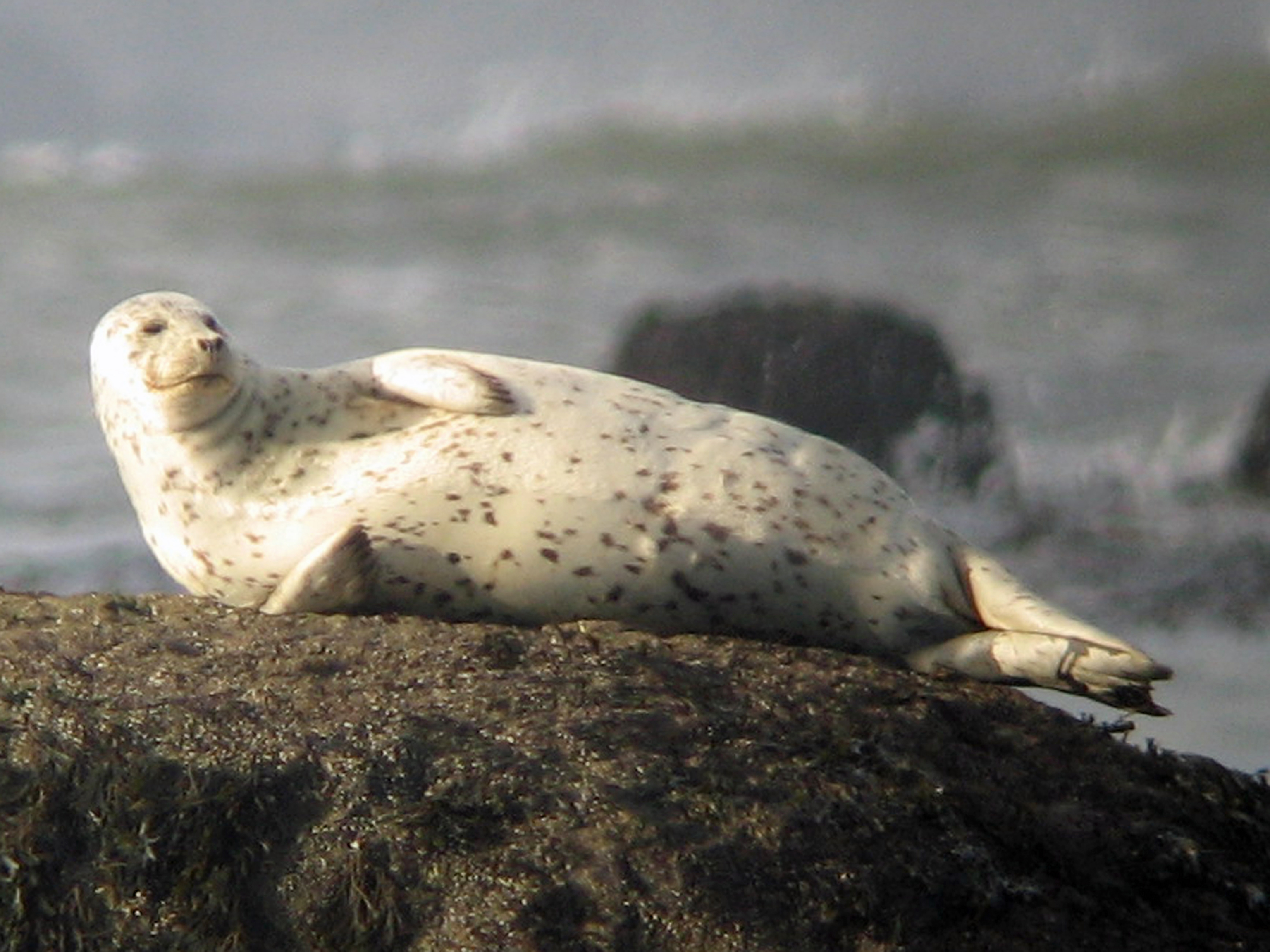
Image: Greg Schechter from San Francisco, USA / CC BY 2.0
Harbor Seal (Phoca vitulina)
A small to medium seal with a rounded head, V shaped nostrils, and a coat of spots and rings on a grey to brown background; no external ear flaps (a "true" / phocid seal). On land it moves by caterpillar like undulation;
Monterey Bay Marine Briefing
Monterey Bay is one of the most ecologically diverse marine regions in the world. Dominated by the massive underwater Monterey Canyon, which rivals the Grand Canyon in depth and scale, the bay brings cold, nutrient rich
Salish Sea, Washington & British Columbia
The Salish Sea is a transboundary inland sea shared by the United States and Canada. The SeaDoc Society defines it as the connected marine waters that include Puget Sound, the San Juan Islands, and the waters off Vancouv
Antarctic Peninsula, Southern Ocean
The Antarctic Peninsula is the northernmost reach of the Antarctic continent, extending toward South America and bordered by some of the most biologically productive waters in the Southern Ocean. It is also one of the fa